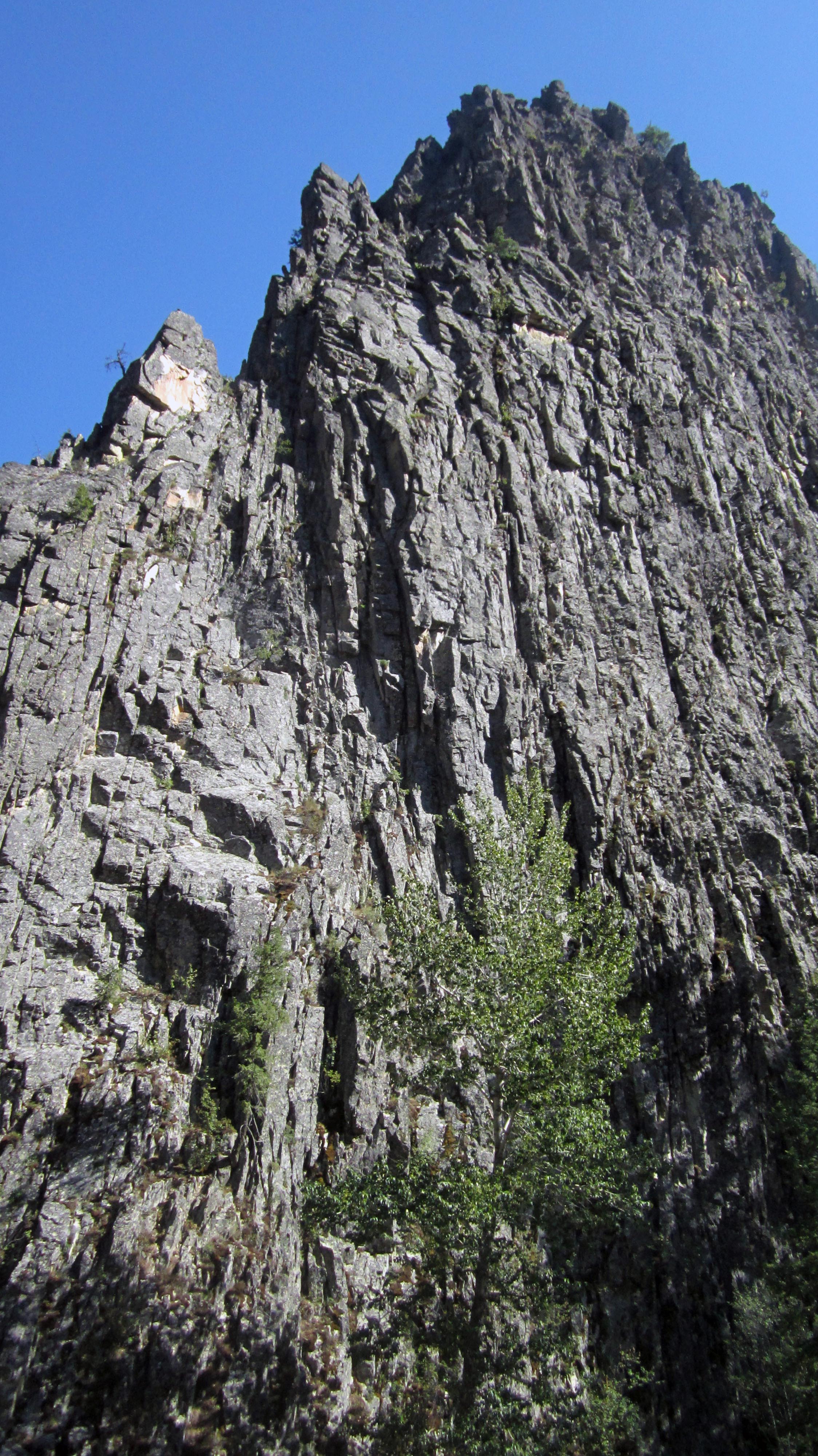
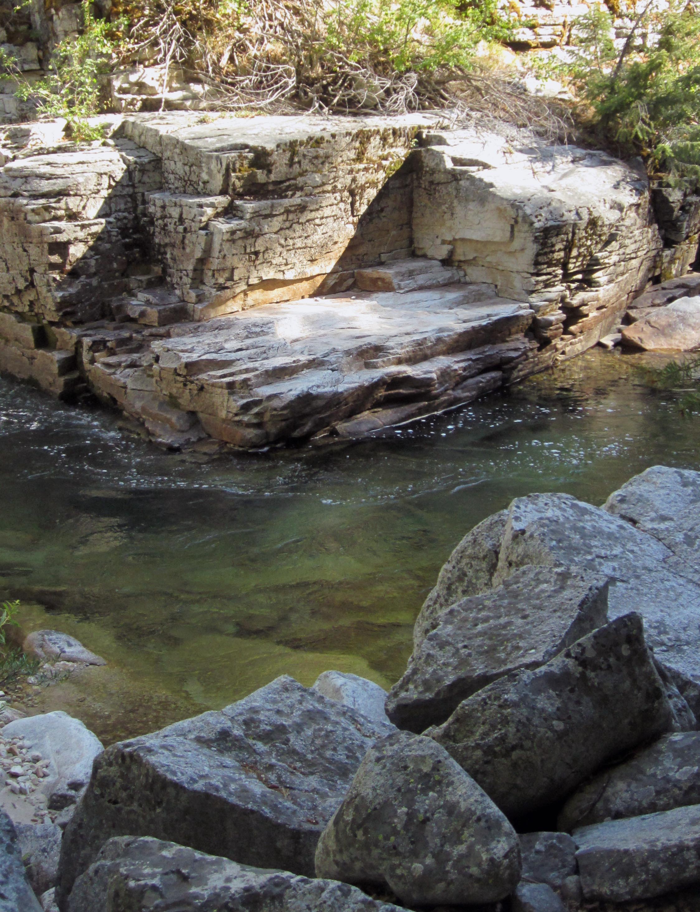
Outside of Idaho City, this trail meanders along the clear Boise River with very little elevation gain between rock cliffs. This is an easy stroll with an occasional large pile-of-rocks that requires careful stepping, and some thick bushes.
Location: At 17.5 miles north of Idaho City on HWY 21, turn right on to FR 384. Continue for 7.4 miles, turn left on FR 327, follow signs for Atlanta for 5.2 miles. Take the left fork on to FR 348 for 0.4 miles, take the left at the intersection, and the signed trail will be on the right.
Length: 3.0 miles out-and-back
This trail was impressive for the clear green river, and the high rock cliffs. Getting to the trail was a bit of a hassle because the Forest Service roads required slow travel, but because of the somewhat out-of-the-way location, you will likely not run into other hikers.

There are no real camping spots until you hike past the 3 miles, so if you prepare to stay overnight, be warned.